 ar
ar bg
bg hr
hr cs
cs da
da nl
nl fi
fi fr
fr de
de el
el hi
hi it
it ko
ko no
no pl
pl pt
pt ro
ro ru
ru es
es sv
sv tl
tl iw
iw id
id lv
lv lt
lt sr
sr sk
sk sl
sl uk
uk vi
vi et
et hu
hu th
th tr
tr fa
fa ms
ms hy
hy ka
ka ur
ur bn
bn mn
mn ta
ta kk
kk uz
uz ku
ku
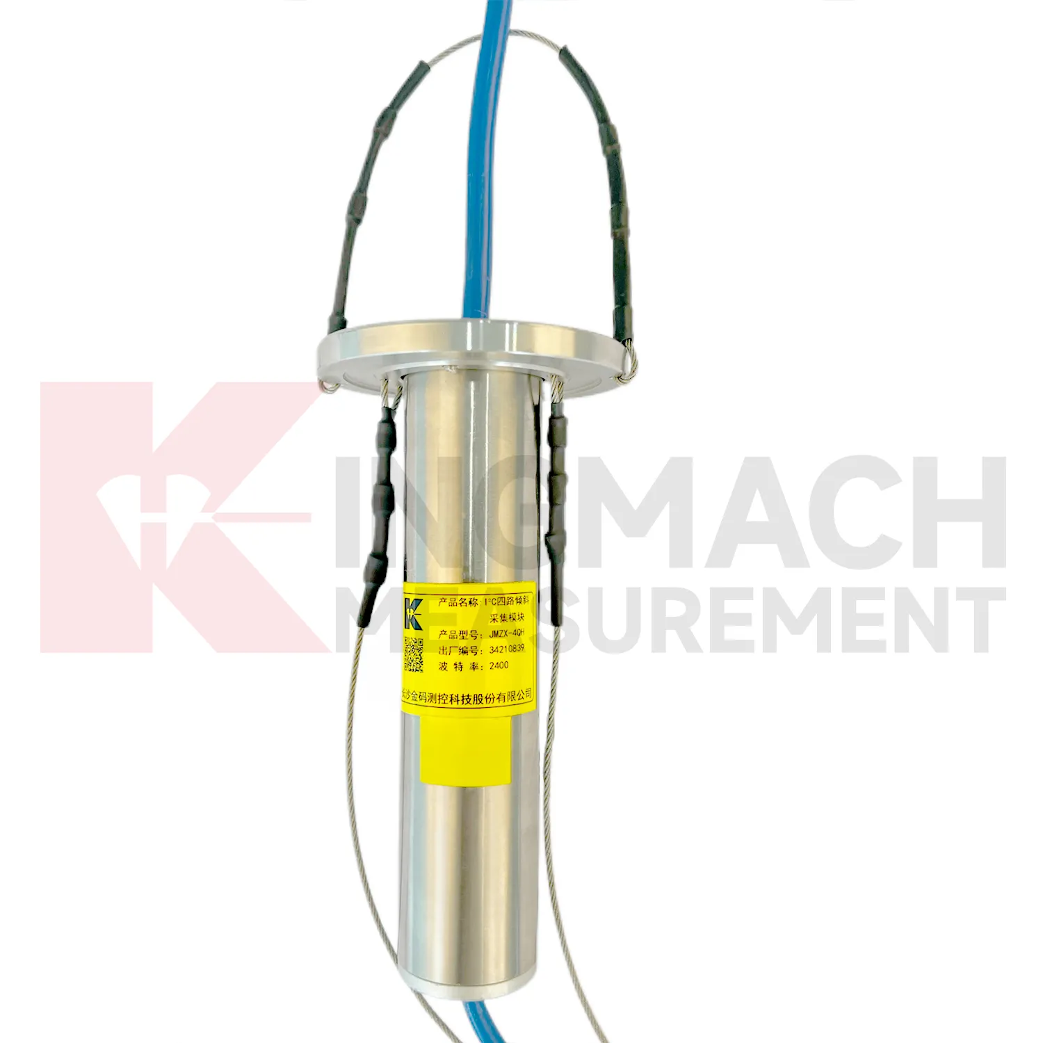
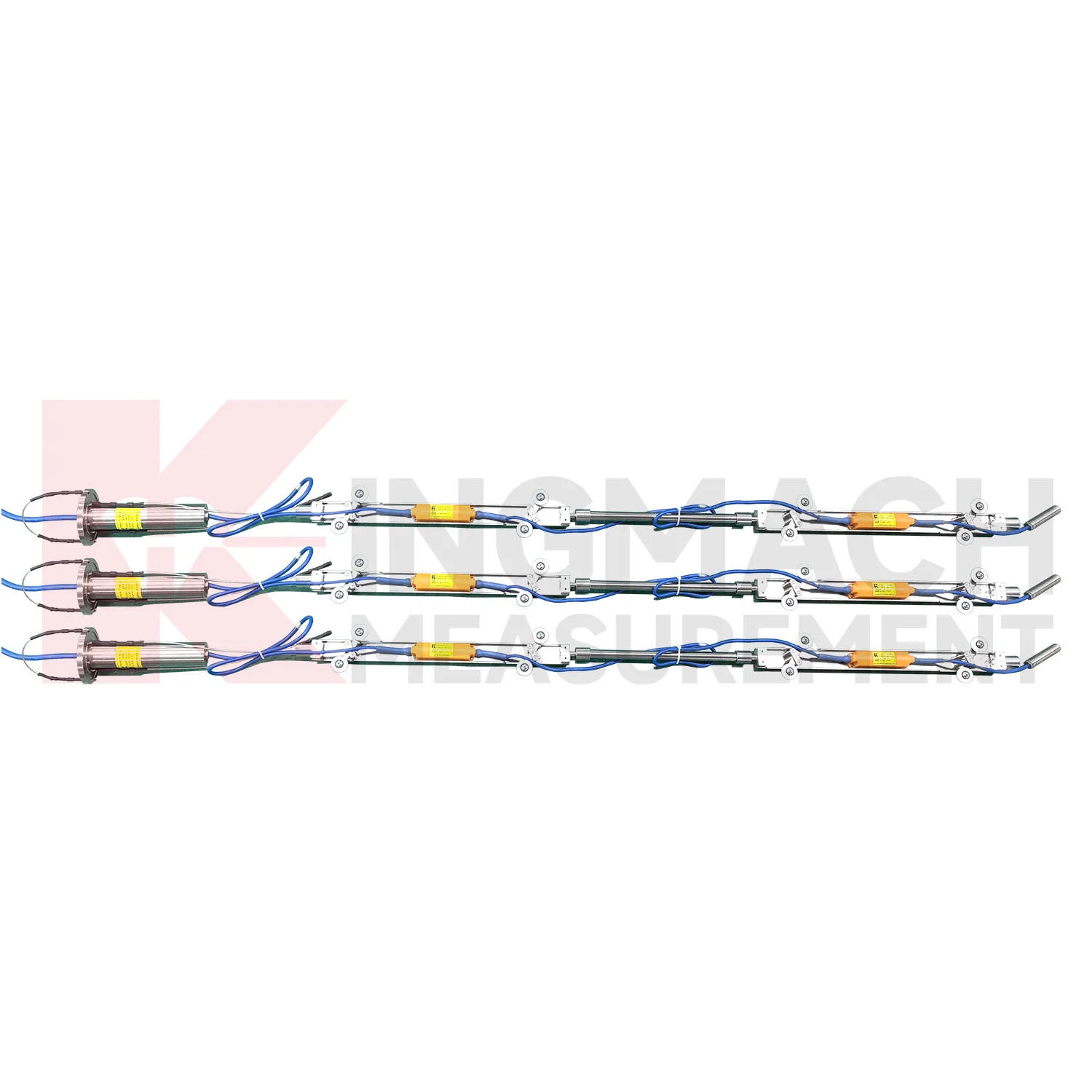
Digital Traversing Inclinometer
Kingmach Digital Traversing Inclinometer use different communication paths for different field needs. JMQJ-7315ADS uses RS485 digital output and works well in wired automated systems. JMQJ-7315RTU uses wireless 4G digital output and is better suited to sites where cables are difficult to run or where remote unattended measurement is expected. JMZX-7100L uses Bluetooth for mobile field reading and can store large amounts of inclinometer data for later analysis. JMQJ-7915ATS and JMZX-4QH support downhole multi-point data collection through grouped communication and acquisition modules. Communication planning should define cable route, antenna position, cabinet protection, baud rate, channel address, sampling interval, power mode, and fallback manual check method. The communication method is part of measurement quality because lost data, wrong channel names, or unstable power can confuse the tilt trend.

Application of Digital Traversing Inclinometer
Port and underground construction projects use Digital Traversing Inclinometer to follow soil movement, retaining structures, and deep displacement where surface survey alone is limited. JMZX-7100L is described for port engineering and underground construction projects, with Bluetooth communication, APP reading, large storage, and post-processing software. The sliding probe method is useful when engineers need a deformation profile along an inclinometer casing rather than one fixed surface angle. Field crews should keep casing ID, depth interval, probe orientation, reading direction, groundwater condition, and operator notes consistent. Data can then be compared with excavation, dredging, surcharge loading, pile work, or retaining wall movement. Good field discipline prevents a profile change from being confused with probe handling differences.

The future of Digital Traversing Inclinometer
Future Digital Traversing Inclinometer will be reviewed more often with environmental and construction context. Tilt readings can change with rainfall, groundwater, temperature, excavation, traffic, wind, reservoir level, vibration, and loading. A platform that displays tilt beside these conditions can help engineers separate a temporary response from continuing deformation. Kingmach product categories include environmental monitoring, displacement sensors, settlement sensors, acquisition hardware, and visualization software, giving tilt data a natural place in a broader monitoring record. Future reporting should make relationships visible without hiding the raw angle data. When a curve changes, the engineer should be able to see nearby site events, related instruments, and inspection notes in the same review path.
Care & Maintenance of Digital Traversing Inclinometer
Replacement of Digital Traversing Inclinometer should preserve measurement continuity. When changing a fixed tiltmeter, integrated wireless unit, in-place string component, acquisition module, or sliding inclinometer accessory, record model, serial number, range, old reading, new reading, reason, date, technician, and any change to axis direction or channel name. Do not hide the replacement by forcing the new curve to look continuous without explanation. If a borehole string is reconfigured, update depth mapping and group communication records. If a wireless unit is replaced, check battery, antenna, and upload timing. A clear replacement record lets future engineers understand the curve and prevents maintenance work from being mistaken for structural deformation.
Kingmach Digital Traversing Inclinometer
Kingmach Digital Traversing Inclinometer are useful when an engineering team needs tilt data that can be compared with displacement, settlement, strain, water level, or load readings. Tilt rarely stands alone. A retaining wall may rotate while a nearby displacement meter shows horizontal movement. A bridge bearing area may tilt as temperature and traffic change. A slope borehole may show deep lateral deformation before the ground surface opens. Kingmach JMQJ-7315ADS provides RS485 digital output for fixed tilt monitoring, and JMQJ-7315RTU provides 4G digital transmission for remote unattended work. These communication paths help put tilt data into a monitoring platform where engineers can compare time stamps and site events. The stronger the data chain, the easier it is to decide whether an angle change is structural behavior, installation disturbance, or a temporary environmental response.
FAQ
Q: How often should Digital Traversing Inclinometer be inspected?
A: Inspection frequency depends on risk, access, construction stage, and deformation speed; active excavation or storm periods often need closer review.Q: What maintenance is needed for wireless tilt units?
A: Check battery status, antenna condition, upload timing, enclosure seals, point label, and platform channel naming.Q: What causes false tilt changes?
A: Loose mounting, disturbed cables, water entry, temperature effects, power faults, channel mistakes, or inconsistent manual reading can affect the record.Q: How should replacement be handled?
A: Record old and new model, serial number, range, baseline, reason, date, axis direction, channel name, and first stable value after replacement.Q: What makes tilt data useful over many years?
A: Consistent point naming, stable baselines, clear installation photos, protected hardware, visible maintenance records, and comparison with related site data.
Reviews
Michael Anderson
The strain gauges and load cells are extremely accurate and stable. They performed very well in our bridge monitoring project. Highly recommended!
Andrew Lee
The visualization software is intuitive and powerful. It helps us analyze monitoring data efficiently.
Latest Inquiries
To protect the privacy of our buyers, only public service email domains like Gmail, Yahoo, and MSN will be displayed. Additionally, only a limited portion of the inquiry content will be shown.
Olivia***@gmail.comUnited States
Hello, we are currently sourcing high-precision strain gauges and load cells for a bridge monitoring...
Isabella***@gmail.comGermany
Hello, we are evaluating weir flow meters for a water management project. Please share accuracy deta...