 ar
ar bg
bg hr
hr cs
cs da
da nl
nl fi
fi fr
fr de
de el
el hi
hi it
it ko
ko no
no pl
pl pt
pt ro
ro ru
ru es
es sv
sv tl
tl iw
iw id
id lv
lv lt
lt sr
sr sk
sk sl
sl uk
uk vi
vi et
et hu
hu th
th tr
tr fa
fa ms
ms hy
hy ka
ka ur
ur bn
bn mn
mn ta
ta kk
kk uz
uz ku
ku
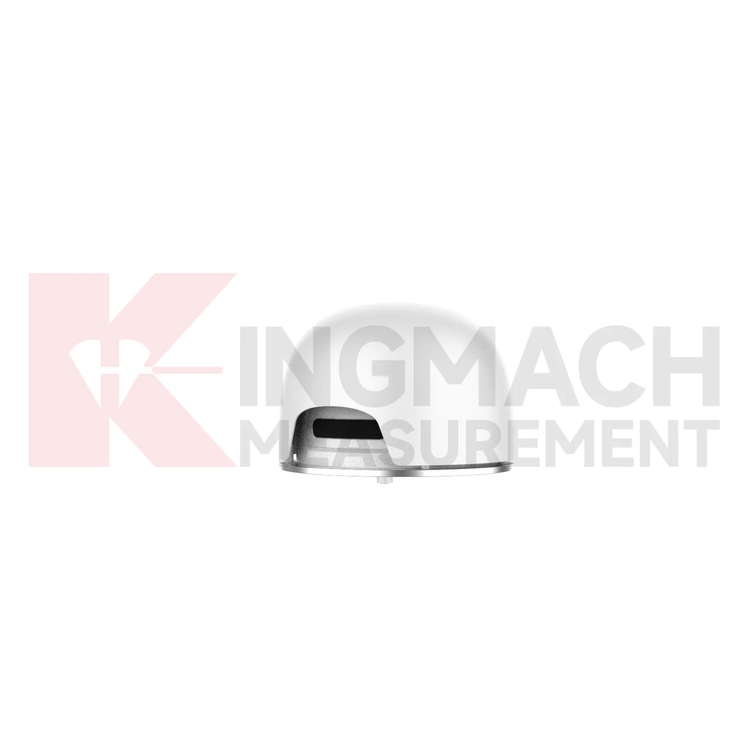
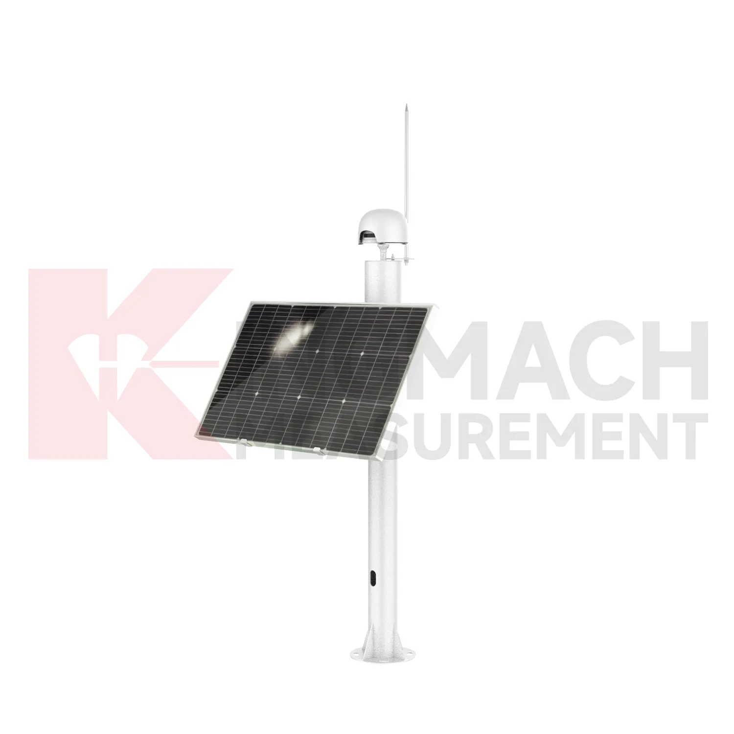
GPS Displacement Monitoring System
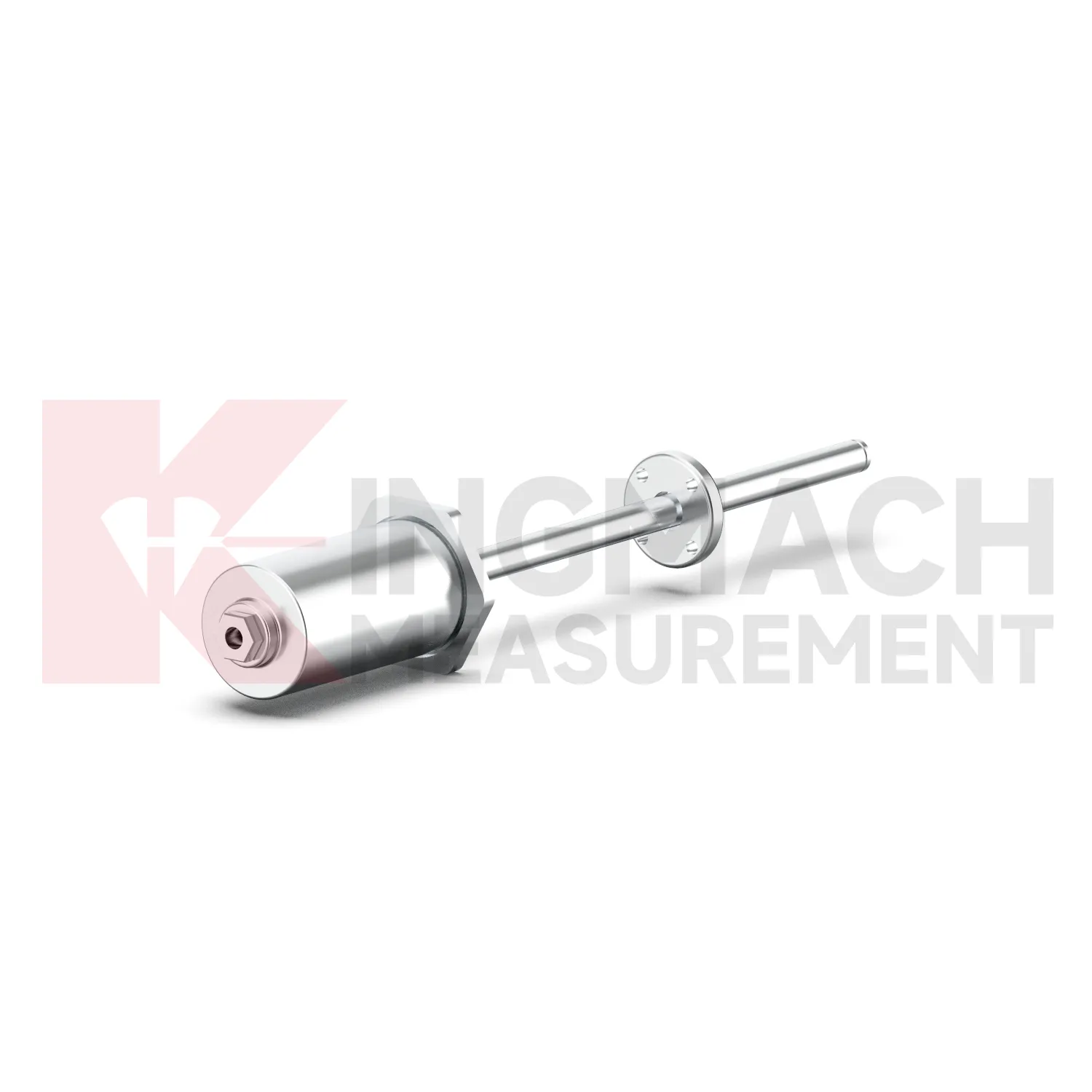
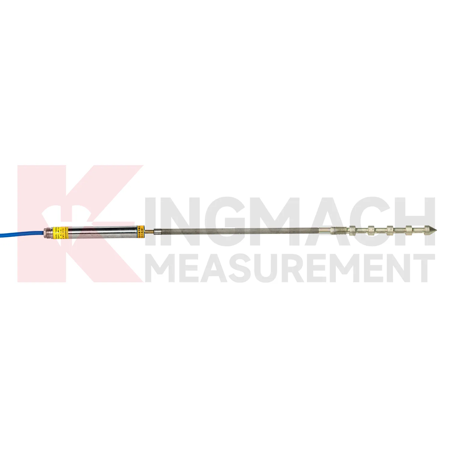
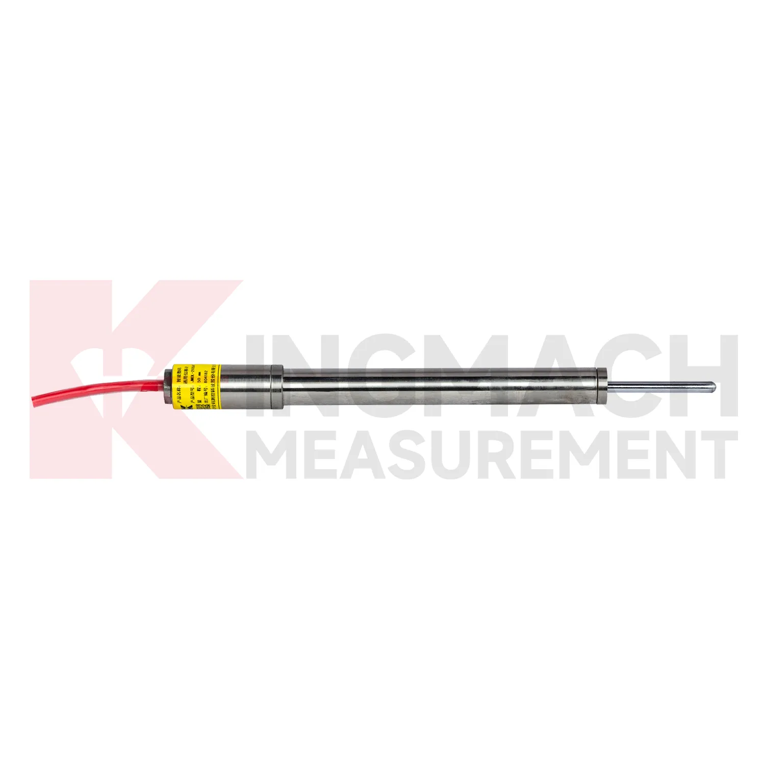
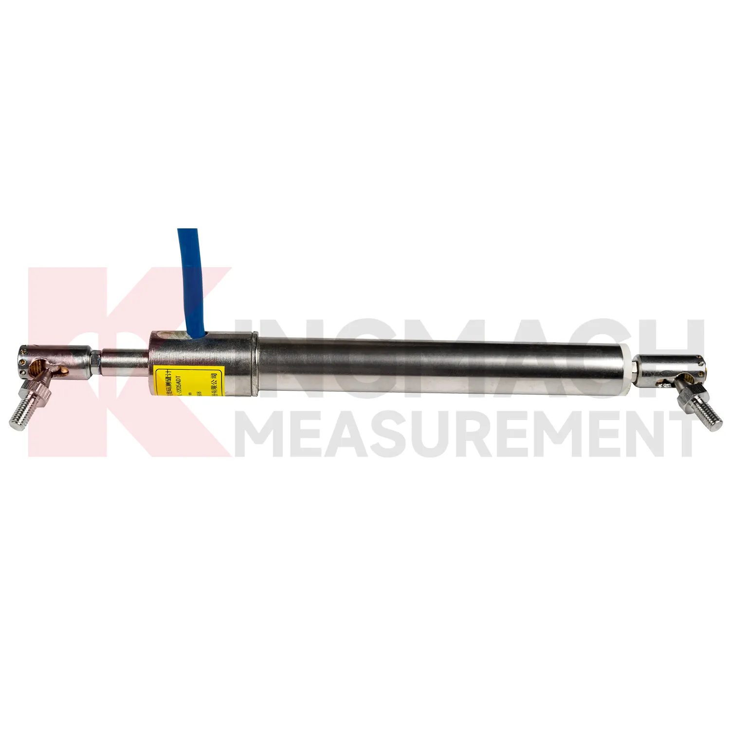
Kingmach GPS Displacement Monitoring System include the JMDL-31XXAT Smart Multipoint Displacement Meter for tunnels, rock slopes, foundation pits, and surrounding rock layers. The product uses displacement gauges, PVC measuring rod protective tubes, anchor heads, and multipoint installation kits that support three to five monitoring points. Installation is performed by drilling and grouting, with anchor heads fixed at different depths so each layer can be observed separately. Listed models include 50 mm, 100 mm, and 200 mm ranges, all with 0.01 mm resolution. The sensing principle uses an LC oscillation circuit: as the measuring rod moves inside the coil, magnetic reluctance and inductance change, causing the output frequency to change in a linear relationship with displacement. Because the rod and coil work without contact, the structure is less vulnerable to mechanical damage during installation. The built-in memory stores model, serial number, calibration coefficients, and up to 600 measurement records for later traceability. During project setup, the measuring point should be matched with the expected travel direction, available mounting space, cable route, and required acquisition interval. This prevents a short-range joint instrument from being used on a long-travel point, or an exposed sensor from being placed where an embedded anchor is needed. It also helps the monitoring team set a baseline that can be defended during acceptance and later maintenance review.
Application of GPS Displacement Monitoring System
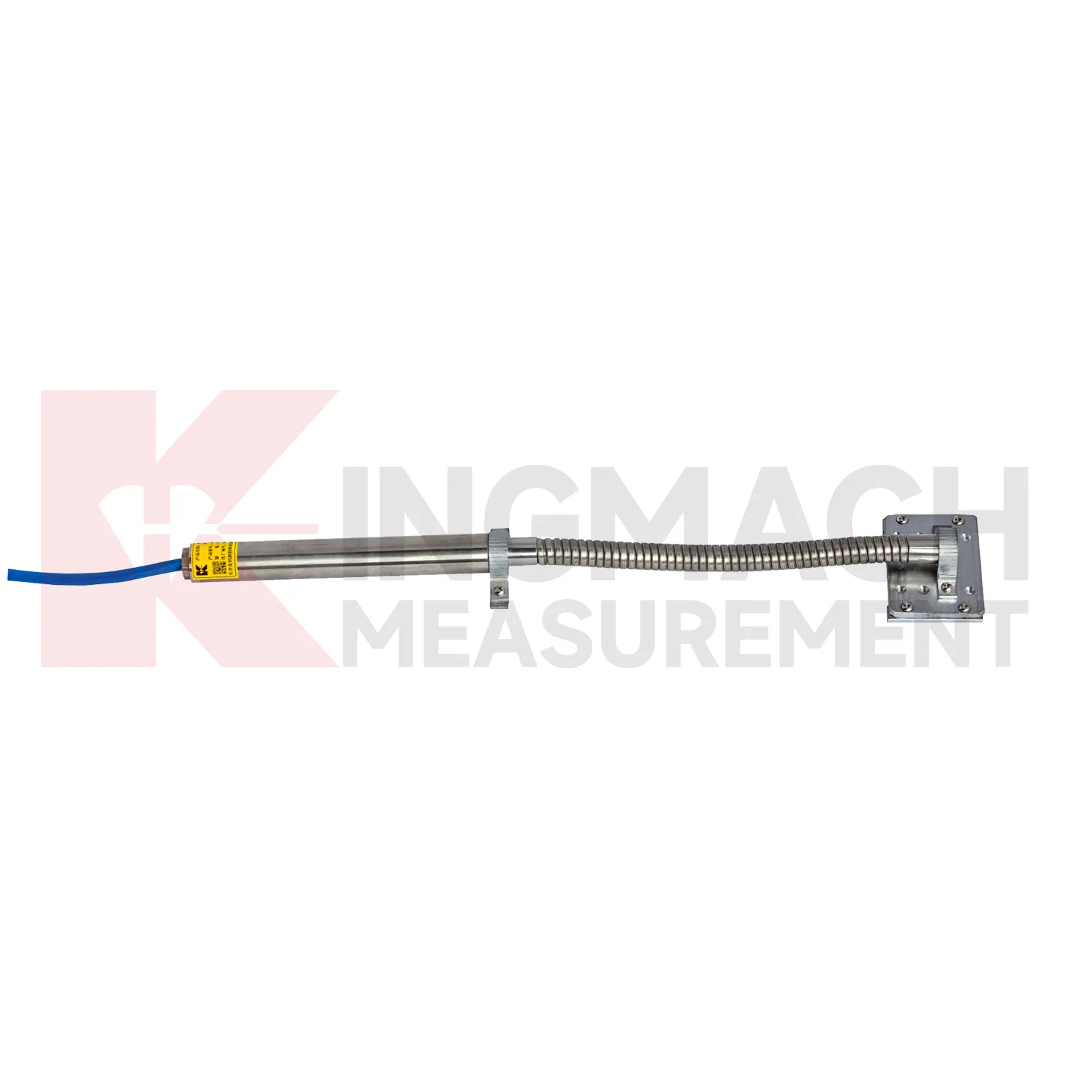
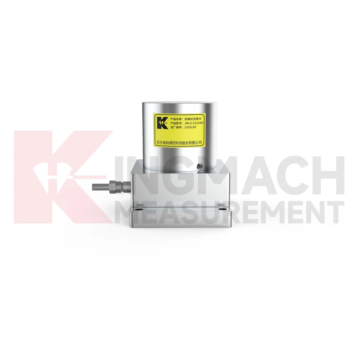
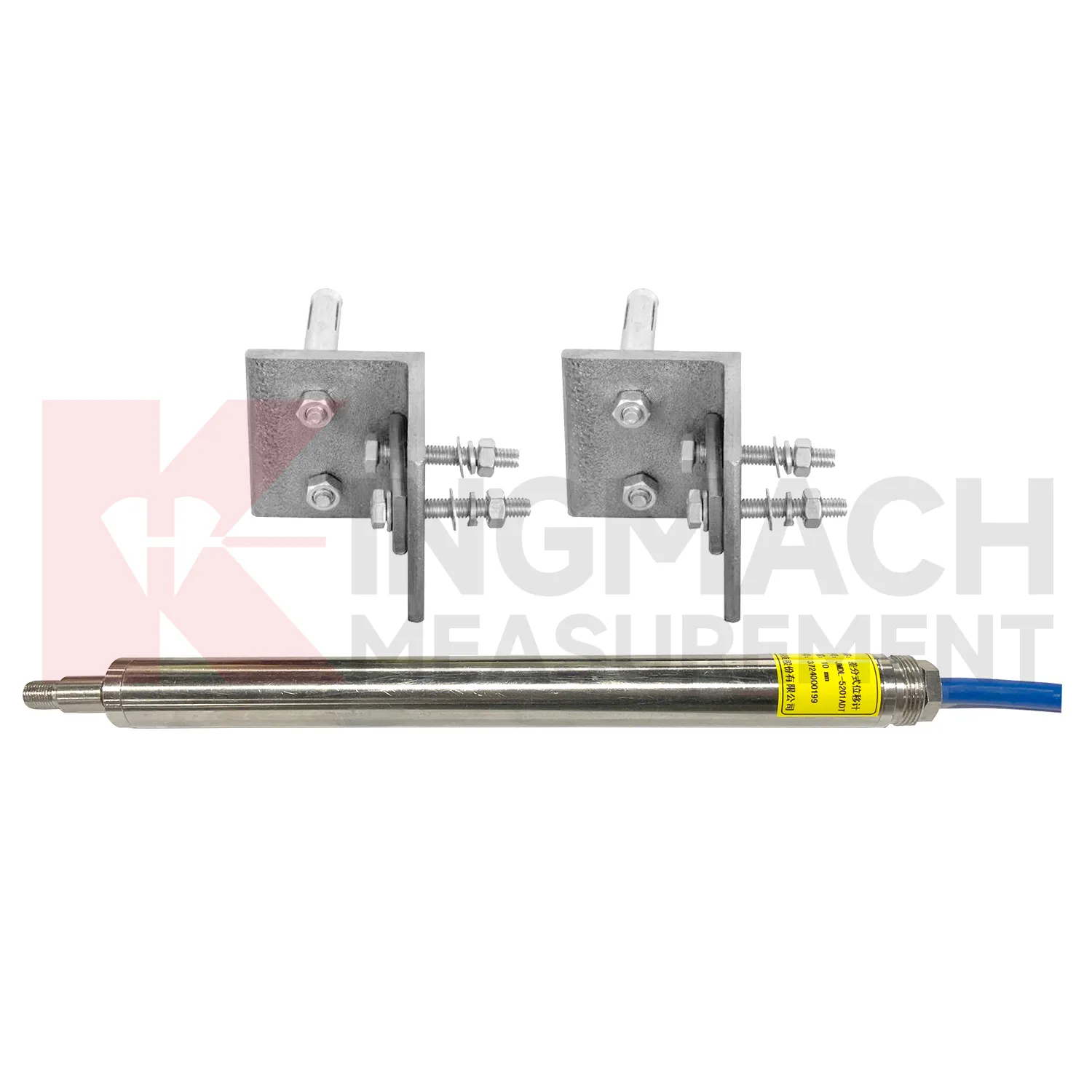
In foundation pit and deep excavation projects, GPS Displacement Monitoring System are used to watch retaining walls, soldier piles, soil nails, nearby pavements, basement walls, and adjacent structures as excavation stages remove support from the ground. The main site concern is not only how far one point moves, but whether movement grows after each excavation layer, support installation, dewatering step, or backfill stage. Kingmach JMDL-32XXAT single-point bedrock meters can measure embedded displacement at a selected reference layer, while JMDL-22XXAT crack gauges follow opening at nearby structures or retaining elements. JMDL-52XXADT differential meters provide high-resolution relative movement at joints or structural interfaces, and JMLS-22XXADT wire rope sensors can cover longer exposed paths where access is available. A useful pit monitoring plan records excavation depth, support timing, groundwater level, construction vibration, and surrounding building observations beside each displacement curve. This helps engineers distinguish bracket disturbance from real ground movement, and it supports faster decisions when a wall, road edge, or adjacent building begins to respond to excavation. During review, the same point should be compared with nearby settlement, tilt, support force, groundwater, and inspection notes so the movement is interpreted as part of the excavation behavior rather than as a single isolated value. during maintenance.
The future of GPS Displacement Monitoring System
Standardized reporting will become more important for future GPS Displacement Monitoring System use. Different stakeholders read movement data in different ways: site managers need fast alerts, designers need deformation patterns, owners need risk status, and maintenance teams need repeatable inspection records. Kingmach smart displacement products already provide details such as absolute displacement, relative displacement, zero-point value, temperature, model number, calibration coefficient, and stored measurements on selected models. Future reports can turn those details into clearer tables and curves: baseline date, latest reading, daily change, cumulative movement, temperature at reading, warning level, sensor status, and recommended inspection action. This will help projects avoid long exports that hide the main risk. A clear displacement report should show not only how far a point moved, but whether that movement is new, accelerating, linked with other sensors, or still within the expected range. Report formats should also keep field photos and maintenance notes close to the curve, so reviewers can understand the physical point behind the data.
Care & Maintenance of GPS Displacement Monitoring System
For automated GPS Displacement Monitoring System, maintenance must include the whole data chain. A sensor can be accurate while the monitoring record is wrong because of channel swaps, wrong units, missed zero values, loose terminals, damaged power supply, or unstable communication. Kingmach displacement products may connect to comprehensive testers, bus modules, automatic acquisition systems, RS485 networks, and monitoring platforms. During commissioning, verify each channel by moving the sensor slightly or checking a known displacement point, then record direction, units, baseline, range, and warning values. During service, check whether data gaps match power failures, communication faults, storms, or cabinet maintenance. Keep spare connectors and labels for field work. When replacing a sensor, do not simply reuse the old zero value; record the replacement time, new model, serial number, range, calibration coefficient, and first stable reading. Keep the installation photo, point number, zero value, and expected movement direction with the commissioning record for later review. If a reading changes after maintenance work, inspect the base, anchor, cable, and cabinet before assuming the structure itself has moved.
Kingmach GPS Displacement Monitoring System
GPS Displacement Monitoring System are often the quiet part of a monitoring system, but they decide whether deformation is understood as a trend or discovered as damage. Kingmach displacement products can be placed at expansion joints, cracks, foundation pits, slope faces, tunnel surrounding rock, dam bedrock, railway subgrades, high-formwork supports, and equipment stroke positions. Many models support digital transmission, anti-interference performance, waterproof sealing, and connection to automatic acquisition systems. The JMDL-21XXAT general-purpose meter records relative displacement and expansion joint movement with 50 mm or 100 mm ranges and 0.01 mm resolution. The JMDL-31XXAT multipoint meter can be installed by drilling and grouting, with anchor heads at different depths. When readings are reviewed with settlement, tilt, rainfall, pore pressure, or construction logs, engineers can see whether movement is seasonal, load-related, excavation-driven, or moving toward a control limit. The point should be named on the drawing, linked with its cable route, and checked against the expected movement direction before the first automatic reading is accepted. For daily review, the reading should be compared with nearby points, recent weather, site operations, and any loading event that could explain the movement.
FAQ
Q: Which GPS Displacement Monitoring System are used for rock layers or bedrock?
A: JMDL-31XXAT multipoint meters are used for different surrounding rock layers, while JMDL-32XXAT single-point bedrock meters are used for tunnel rock mass, dam bedrock, slope, or foundation pit movement.
Q: How many points can the multipoint meter support?
A: The multipoint installation kit supports three to five monitoring points, with anchor heads fixed at different depths by drilling and grouting.
Q: What ranges are listed for these models?
A: Both JMDL-31XXAT and JMDL-32XXAT list 50 mm, 100 mm, and 200 mm models with 0.01 mm resolution.
Q: Why monitor several depths?
A: Different layers may move differently. Separating shallow and deep movement helps engineers judge whether the problem is surface creep, deeper rock slip, or overall mass movement.
Q: What records should be kept?
A: Keep drilling depth, anchor location, grouting date, channel name, zero value, cable route, and first stable reading.
Reviews
Ryan Lewis
Fast delivery and excellent product quality. The accelerometers and tiltmeters are highly reliable. Strongly recommend this company.
James Thompson
The tiltmeters and accelerometers are very sensitive and provide precise data. Perfect for our structural health monitoring system.
Latest Inquiries
To protect the privacy of our buyers, only public service email domains like Gmail, Yahoo, and MSN will be displayed. Additionally, only a limited portion of the inquiry content will be shown.
Sophia***@gmail.comUnited Kingdom
Good day, we need environmental monitoring sensors including temperature, humidity, and wind sensors...
Evelyn***@gmail.comSouth Africa
Hi, we are a contractor working on tunnel construction and need settlement sensors and displacement ...