
 EN
EN
 ar
ar bg
bg hr
hr cs
cs da
da nl
nl fi
fi fr
fr de
de el
el hi
hi it
it ko
ko no
no pl
pl pt
pt ro
ro ru
ru es
es sv
sv tl
tl iw
iw id
id lv
lv lt
lt sr
sr sk
sk sl
sl uk
uk vi
vi et
et hu
hu th
th tr
tr fa
fa ms
ms hy
hy ka
ka ur
ur bn
bn mn
mn ta
ta kk
kk uz
uz ku
ku
water gauge level
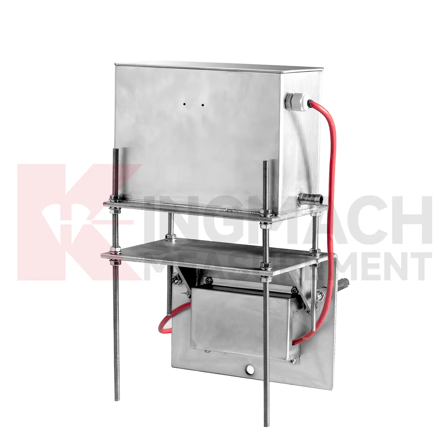
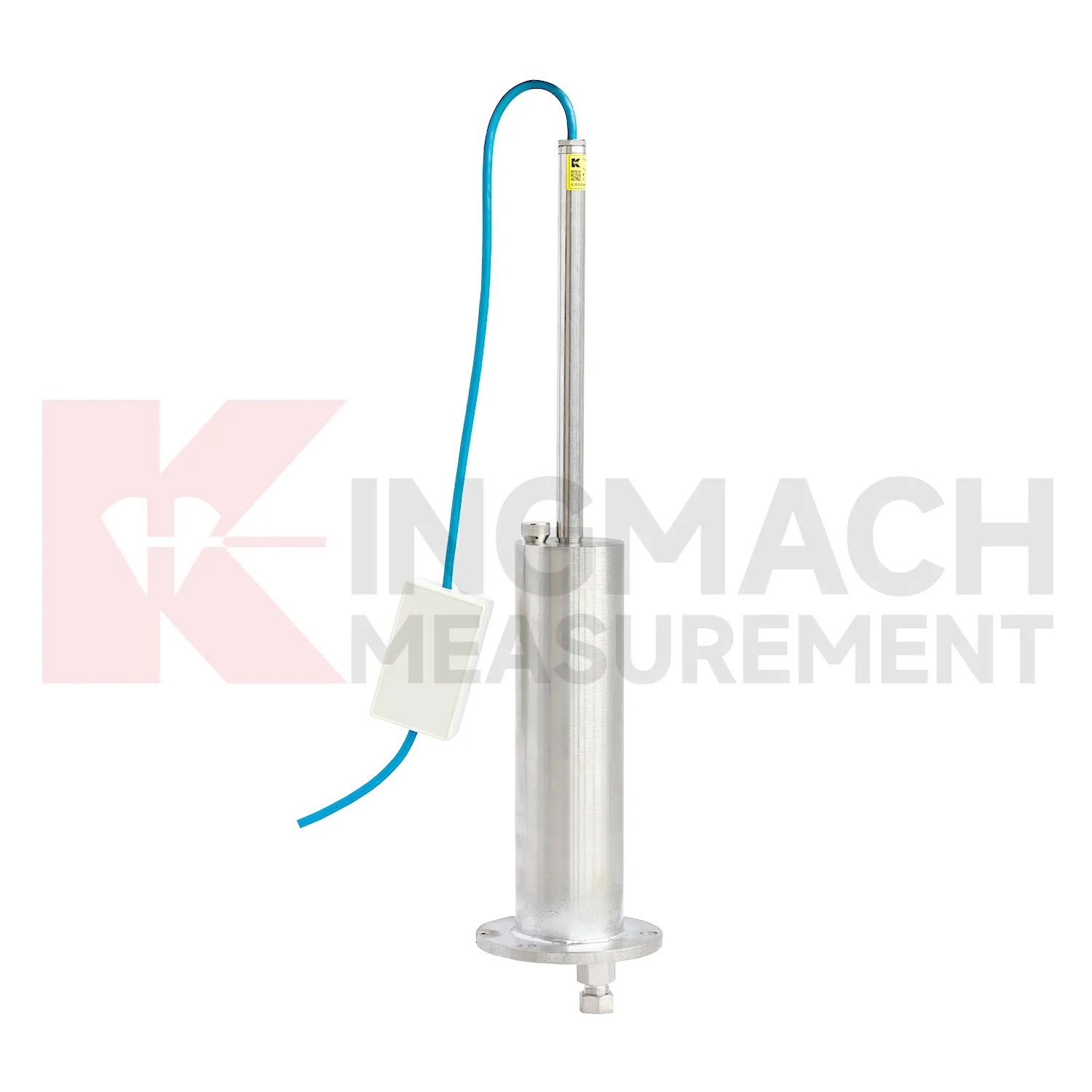
Kingmach water gauge level include the JMDL-62XXADT inductive frequency-modulated hydrostatic level sensor for projects that need a hydrostatic reference network rather than isolated manual checks. The instrument is arranged with connecting tubes, so each measuring location works against a shared liquid level and a stable reference point. Listed ranges are 50 mm, 100 mm, and 200 mm, with 0.01 mm resolution, 0.5%FS accuracy, RS485 output, DC 9V to 24V supply, power consumption below 0.5W, and an operating temperature from -30 degrees Celsius to +80 degrees Celsius. It is applied in dam deformation observation, bridge deflection, slope stability, building settlement, and high-speed rail foundation monitoring. A good project layout starts with the reference benchmark, tube slope, exhaust position, cabinet height, cable route, and channel address. During commissioning, the crew should remove trapped air, confirm fluid continuity, record the initial level, and compare every channel under the same temperature condition. The data cabinet can then collect each channel by address and preserve a clear relation between tube branch, instrument serial number, and drawing location. This makes later data easier to judge because a curve change can be traced back to a named measuring point, a known hydraulic path, and a documented baseline.
Application of water gauge level
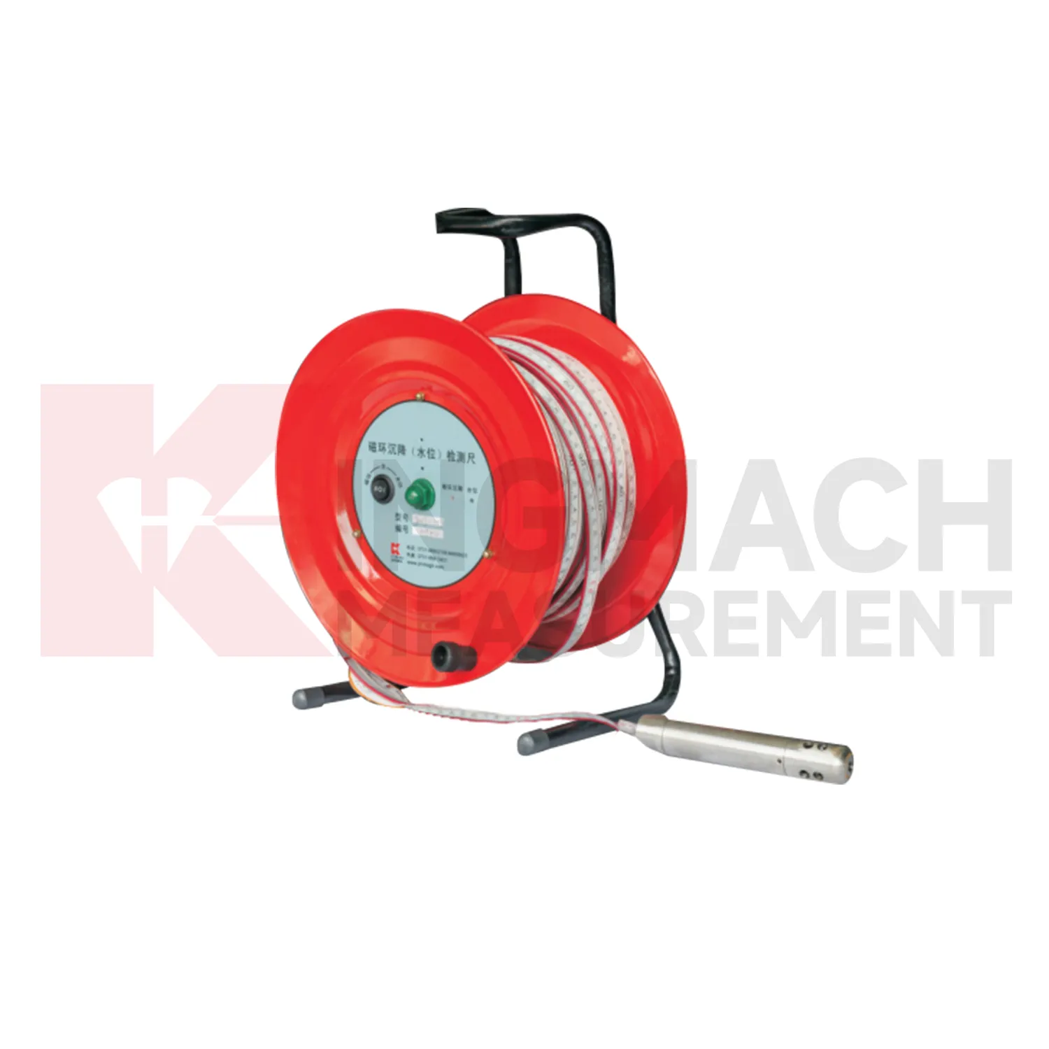
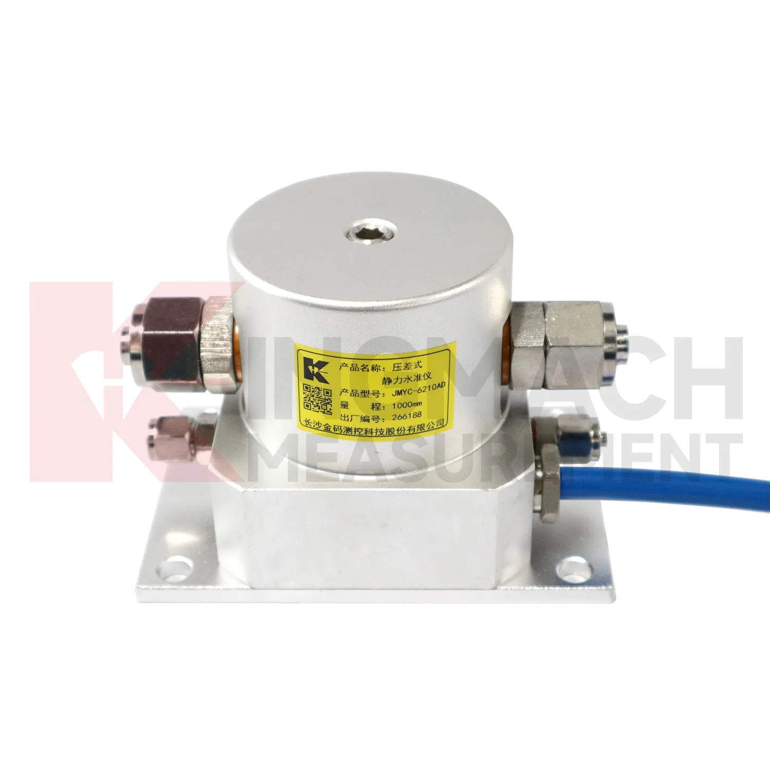
Integrated structural health monitoring uses water gauge level as the vertical deformation layer within a larger data set. Settlement rarely explains a site by itself; it usually needs to be read with tilt, strain, load, pore pressure, displacement, water level, rainfall, vibration, and inspection findings. Kingmach settlement products support several measurement styles, including embedded single-point gauges for foundations and subgrades, hydrostatic level sensors for multi-point comparison, wide-range differential pressure instruments for long profiles, and magnetic ring gauges for layered soil observation. Before installation, each point should have a reason: a pier bearing seat, a soft ground section, a basement wall, a tunnel invert, or a dam gallery position. The alarm logic should then match that reason, not just a generic number. For example, a slow uniform drift across all hydrostatic channels may mean something different from one local point moving against a steady reference. A well organized system keeps channel names, drawings, baselines, thresholds, and inspection duties connected so the team can act on the signal instead of debating where it came from.
The future of water gauge level
Future water gauge level reports will need to be clearer for both engineers and owners. A useful settlement report should show baseline date, latest value, cumulative settlement, rate of change, reference point status, water level condition, construction stage, and recommended inspection action. It should also include whether the reading was manual, remote, magnetic ring based, hydrostatic, or embedded single-point measurement. Kingmach products generate different kinds of settlement information, so reporting should preserve that context instead of flattening every value into one table. For high-risk projects, trend graphs should sit beside field notes and photos. That makes it easier to decide whether a movement is normal consolidation, reference disturbance, water-related change, or a condition that needs immediate review. The practical goal is to keep settlement data understandable after the original installation crew has left, so owners can compare old and new readings without reconstructing the field history from memory. The same record should remain readable for designers, contractors, owners, and maintenance teams, because settlement monitoring often continues long after the first construction report is finished.
Care & Maintenance of water gauge level
Replacement or recalibration of water gauge level must preserve continuity in the settlement record. Do not overwrite earlier data or silently move the zero value. Record replacement date, reason, model, range, serial number, reference point, first stable reading, and any change to cable, tube, cabinet, borehole, or mounting setup. If a hydrostatic reference point is moved, explain how old and new readings should be compared. If a magnetic ring borehole is repaired, note whether depth references changed. If an embedded gauge is abandoned, mark the point status clearly in reports instead of leaving a silent gap. Settlement monitoring often matters because it lasts for years, so maintenance events must be visible to future reviewers. A clean handover file should let a new engineer understand not only the curve, but also every instrument event that shaped it.
Kingmach water gauge level
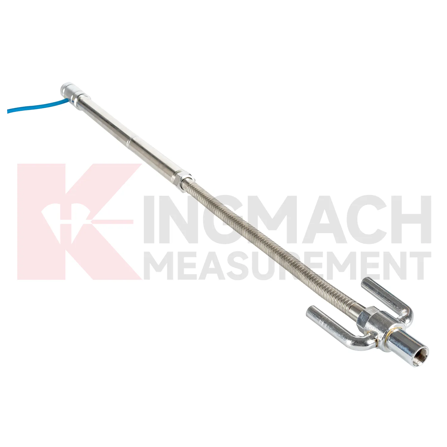
In underground works, water gauge level help separate vertical movement from the noise of excavation, support installation, groundwater, and nearby traffic. Tunnel bottom uplift, subway station settlement, foundation pit base heave, and adjacent ground movement can all affect construction safety. Kingmach JMDL-47XXAT is described for tunnel bottom uplift and base uplift in deep foundation pits, while hydrostatic products can compare several elevations across a station or tunnel section. The monitoring plan should define which reading triggers inspection, who receives the alert, and what nearby data should be checked. Settlement should be reviewed with displacement, support force, water level, tilt, and visual inspection. That wider view keeps a single curve from being overread or ignored. For critical infrastructure, the settlement point should be part of a wider review with displacement, tilt, strain, load, rainfall, and groundwater information. For critical infrastructure, the settlement point should be part of a wider review with displacement, tilt, strain, load, rainfall, and groundwater information.
FAQ
Q: What are water gauge level used for?
A: They measure vertical deformation such as foundation settlement, subgrade settlement, embankment heave, tunnel bottom uplift, dam settlement, bridge deflection, and building settlement.
Q: Which Kingmach models are related to this group?
A: Common models include JMDL-47XXAT, JMDL-62XXAT/ADT, JMQJ-62XXADT, JMYC-62XXAD, and JMCJ-1003/1005.
Q: What is the difference between single-point and hydrostatic monitoring?
A: Single-point gauges measure settlement at a specific embedded point, while hydrostatic systems compare several points against a reference level through connected liquid paths.
Q: Can the readings be collected remotely?
A: Yes. Several Kingmach hydrostatic and settlement instruments support RS485 output or automatic acquisition systems for remote collection.
Q: Why is the reference point important?
A: Settlement is often calculated relative to a reference. If the reference changes or is poorly documented, the whole settlement curve can become misleading.
Reviews
Andrew Lee
The visualization software is intuitive and powerful. It helps us analyze monitoring data efficiently.
James Thompson
The tiltmeters and accelerometers are very sensitive and provide precise data. Perfect for our structural health monitoring system.
Latest Inquiries
To protect the privacy of our buyers, only public service email domains like Gmail, Yahoo, and MSN will be displayed. Additionally, only a limited portion of the inquiry content will be shown.
Evelyn***@gmail.comSouth Africa
Hi, we are a contractor working on tunnel construction and need settlement sensors and displacement ...
Ava***@gmail.comAustralia
Hi, I am looking for reliable tiltmeters and accelerometers for structural health monitoring. Please...
Related product categories
- water level gauge
- water gauge water level gauge
- water gauge level
- gauge water level
- Magnetic Ring Settlement Water Level Gauge
- Optical Deflection Monitor
- Tilt Sensor
- Deflectometer
- Micro Range Hydrostatic Level Sensor
- Single-point Settlement Meter
- Optical Deflection Monitor
- Inclinometer-based Hydrostatic Leveling System